Demo Videos
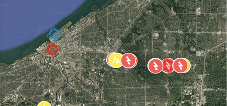
See it in action. These demos walks you through how simple and powerful the platform really is. From mapping unlimited assets to customizing categories and viewing everything plotted on a satellite map. Anyone can easily jump in and add to it, or it can be restricted so only certain people can edit / modify it.
How it works
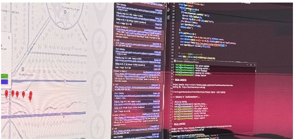
Behind the scenes, we use smart tools like HTML, JavaScript, GPS, and Python to bring everything together. Our custom API connects it all to the world's largest satellite network, letting you map assets in real time with no tech skills needed on your end.